Android · Estonia
Roadinfo Camera
Capture road photos and videos with location, date, time, and Estonian road information displayed directly on the recording.

Road documentation
Road documentation with useful context
Roadinfo Camera helps you document Estonian roads while keeping the essential location and time information together with each recording.
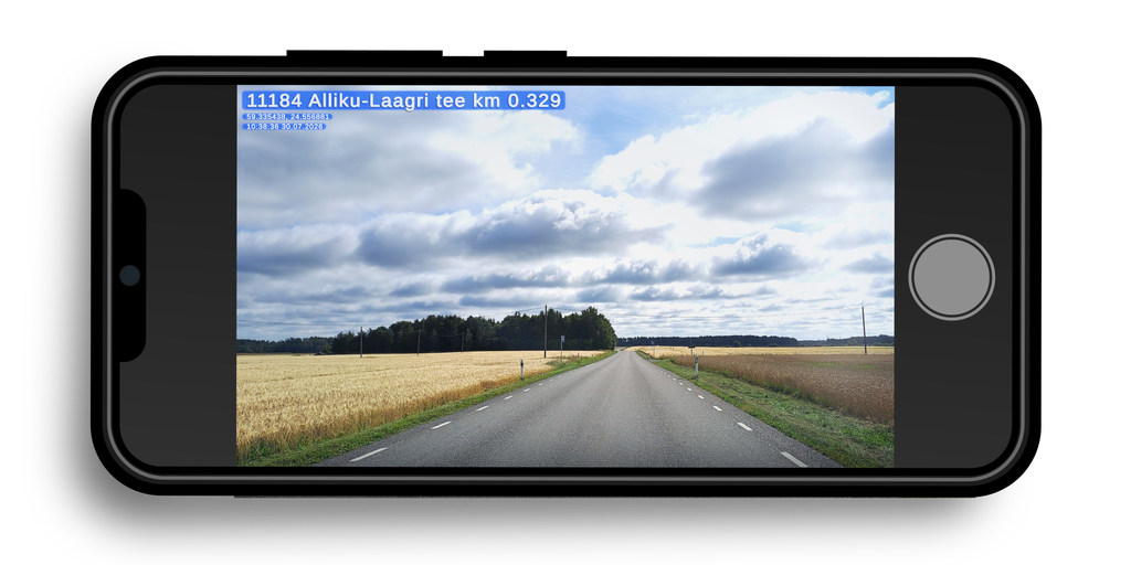
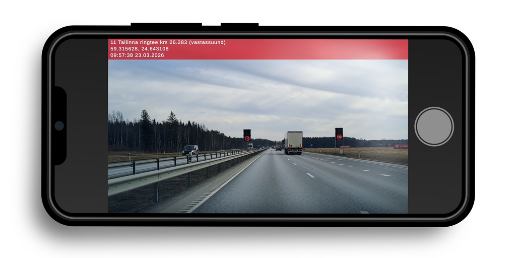
The application can display coordinates, date, time, and your approximate position along the road—including the road name, road number, and kilometre marker—directly on photos and videos.
Key features
Location and time information
Add coordinates, date, and time to your photos and videos.
Estonian road data
Display the road name, road number, and approximate kilometre marker.
Configurable information display
Choose which information and road types are shown through the application settings.
GPS-tagged photos
Save location data with photos for use in mapping applications such as Google My Maps, QGIS, and ArcGIS.
Available in your phone’s gallery
Captured photos and videos are saved on the device and can be viewed using the phone’s gallery application.
Ready for the road
Ready to document the road?
Get Roadinfo Camera on Google Play, or contact us with a question about the application.